Year
2010 - 2013
Abstract
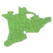
The Ontario Stewardship Program has established Stewardship Councils across all of southern Ontario and a portion of northern Ontario. This data set is a polygon coverage that can be used to identify the location of Stewardship Council administrative boundaries. The majority of the Stewardship Council boundaries conform to existing upper tier municipal boundaries.
URL
Access this resource on Scholars Geoportal.
SGP_id
1274886298
Scholars Geoportal URL
Access this resource on Scholars Geoportal.