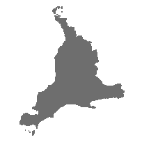
Southwestern Ontario Orthophotography Project (SWOOP) 2015 Classified LAS was generated by Mapping and Geomatics Services Section (MGSS).
MGSS staff worked with the raw point cloud LAS data derived from image correlation in order to create a SWOOP 2015 Classified LAS.
In total, SWOOP 2015 Classified LAS contains 44,629 non-overlapping tiles (1km x 1km) of classified point cloud data in LAS format covering Southwestern Ontario.
The Classified LAS is available for download through the use of this index service. Data are available as zlas format for Southwestern Ontario.
Access this resource on Scholars Geoportal.
Access this resource on Scholars Geoportal.
