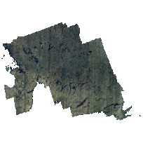
SCOOP digital imagery was collected with sensor Leica geosystems ADS80 SH82 for areas of Ontario between April 26th and May 7th 2013.
The project encompassed an area of approximately 35,762 square kilometers, covering parts of South Central Ontario including Peterborough, Haliburton, Muskoka, Simcoe and surrounding areas.
A Leica ADS80 SH82 Digital Camera system including an inertial measuring unit (IMU) and a dual frequency airborne GPS receiver was used for the digital image acquisition. Imagery acquisition was performed at 1,920m AMT (above mean terrain) to produce 20cm GSD RGBNiR orthorectified imagery and related products. Ground control survey was also collected by Fugro.
This dataset represents a revised, colour-balanced version, to facilitate a seamless coverage over the entire collection of images. The original version is available in both JP2 and TIFF format here: http://geo2.scholarsportal.info/#r/details/_uri@=3516388189
Compressed GeoTIFFs: These images are JPEG-compressed GeoTIFFs, and are suitable for analysis in many cases. Should you require uncompressed TIFF files, these may be requested for download by contacting geoportal@scholarsportal.info, and providing your name and institution (ex. University of Guelph). For more information, click Request Uncompressed TIFFs below.
Please note: Due to the size of these tiles (~500 MB each), please request a portion of the data only. This can be done by including a polygon file of the study area, a description of a desired feature/area (ex. UTM campus), or a screenshot in your e-mail.
Access this resource on Scholars Geoportal.
Access this resource on Scholars Geoportal.
