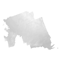
The SCOOP 2013 DEM is a 2m raster elevation product that represents a generalized representation of both surface and ground features. SCOOP 2013 digital imagery was collected for areas in South Central Ontario between April 26th and May 7th 2013.
The SCOOP 2013 DEM product contains 35,923 tiles (1km x 1km), and the acquired digital imagery encompasses an area of approximately 35,762 square kilometers. The resulting Digital Elevation Model (DEM) has a resolution of 2m.
The DEM product covers South Central Ontario including Peterborough, Haliburton, Muskoka, Simcoe and surrounding areas.
Access this resource on Scholars Geoportal.
Access this resource on Scholars Geoportal.
