Year
2015 - 2023
Abstract
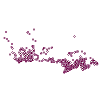
This layer indicates the locations of power plants across Canada and includes information about annual electricity production and CO2 emissions.
Additional tables and supporting documentation are available in the Data Dictionary and User Manual.
URL
Access this resource on Scholars Geoportal.
SGP_id
5371824
Scholars Geoportal URL
Access this resource on Scholars Geoportal.
