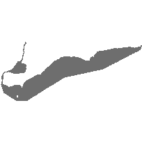
This data set can be used to identify an offshore grid system consisting of Blocks and Tracts. A Block is 5min by 5min containing twenty-five 1min by 1min Tracts. Blocks are assigned numbers and Tracts are assigned letters. Areas near shoreline may involve registered plan boundaries.
Supplementary tables can be used and are available for download from the additional documentation section.
Access this resource on Scholars Geoportal.
Access this resource on Scholars Geoportal.
