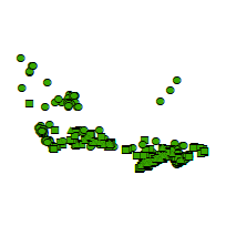
This layer indicates the point locations of parks and recreational areas across Canada. This includes, but is not limited to, national parks, provincial parks, municipal parks, wilderness areas, golf courses, campgrounds, cemeteries, sports fields, historical sites, and swimming pools.
Additional tables and supporting documentation are available in the Data Dictionary and User Manual.
Access this resource on Scholars Geoportal.
Access this resource on Scholars Geoportal.
