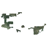
The Northwest Ontario Orthophotography (NWOOP) 2017 is an aerially acquired imagery data set. This product is 4 band RGBNiR orthophotography with a pixel resolution of 20 centimetres and is accurate to 50 centimetres on the ground at 90%. The dataset covers approximately 22,700 kilometres squared in northwest Ontario.
The imagery was acquired in the spring of 2017 under the best conditions possible to achieve cloud free, snow free, ice free, smoke free, and leaf off captures. These conditions together were best represented in Northwestern Ontario during May 7 to May 19 during which time the imagery was acquired.
The imagery was acquired by aerial photography and was later orthorectified using an elevation dataset generated through image correlation.
Access this resource on Scholars Geoportal.
Access this resource on Scholars Geoportal.
