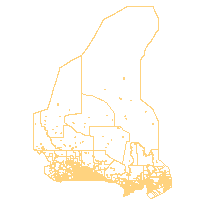
The Municipal Amalgamation File (MAF) is a municipality boundary file. This graphic feature file represents changes to Canadian municipal boundaries, their subsequent changes to name, municipality type, amalgamations and annexations.
Note: In 2012, there was a datum change from NAD83 to WGS84.
Access this resource on Scholars Geoportal.
Access this resource on Scholars Geoportal.
