Year
2008
Abstract
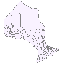
This data set can be used to identify an MNR Area, which is a polygon feature that identifies Ministry of Natural Resources organisational units. This layer is part of what was known as the OMNR Non-Fundamental Dataset.
URL
Access this resource on Scholars Geoportal.
SGP_id
618705943
Scholars Geoportal URL
Access this resource on Scholars Geoportal.