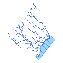
City of Mississauga digital mapping data contains very detailed topographic and planning information clipped to the City of Mississauga municipal boundary based on a scale of 1:2,000.
This data set contains the edges of water bodies in the City of Mississauga, Ontario.
Access this resource on Scholars Geoportal.
Access this resource on Scholars Geoportal.
