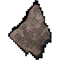
This City of Mississauga aerial photography covers the area of Mississauga. The first aerial surveys of Mississauga were undertaken in 1944. Since then, the city has produced aerial photography every five to ten years until 2002, when it became annual.
Data sets pre-2016 contain the lower-resolution JPG version of the imagery for view, and a high-resolution ECW version for direct download (as a complete mosaic). Note that for some of the earlier years, only a direct download is available. 2016 to 2017 provide a download of specific areas of interest as JPG2. For 2018 onwards TIFF image files are provided.
All data prior to 2019 was provided directly by the City of Mississauga. Beginning in 2020, data was provided by First Base Solutions.
Access this resource on Scholars Geoportal.
Access this resource on Scholars Geoportal.
