Year
2003 - 2014
Abstract
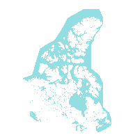
Major Water Regions represent waterbodies with a heritage significance, or surface area greater than 100sqkm.
Major Water is engineered from a combination of National Topographic Data Base (NTDB) 1:50,000 and 1:250,000 scale hydrographic mapping data.
Note: In 2012, there was a datum change from NAD83 to WGS84.
URL
Access this resource on Scholars Geoportal.
SGP_id
311685684
Scholars Geoportal URL
Access this resource on Scholars Geoportal.
