Year
2005 - 2013
Abstract
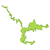
This data set is a polygon coverage that can be used to identify the outer boundary of the Greenbelt Area, as defined by Ontario Regulation 59/05 as amended, which includes lands within the Niagara Escarpment Plan Area, the Oak Ridges Moraine Area, and lands designated as Protected Countryside, and Urban River Valley, by this Plan.
URL
Access this resource on Scholars Geoportal.
SGP_id
1454744204
Scholars Geoportal URL
Access this resource on Scholars Geoportal.