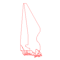
The Federal Electoral District Boundary File portray the 338 federal electoral district boundaries based on the 2013 Representation Order. A federal electoral district is an area represented by a member of the House of Commons.
The federal electoral district boundaries used for the 2011 Census are based on the 2003 Representation Order, additional data releases have been updated to reflect 2013 Representation Order boundaries (see Statistics Canada).
FEDUID - Uniquely identifies a federal electoral district (composed of the 2-digit province/territory code and the 3-digit federal electoral district code).
This layer has polygons that extend to 90 degrees Latitude North but are only shown to a maximum of 85 degrees Latitude North. Please download entire dataset if the whole dataset is required.
Access this resource on Scholars Geoportal.
Access this resource on Scholars Geoportal.
