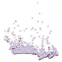
Enhanced Postal Code points are a precision-based point file representing over 1 million postal codes across Canada. Each point includes FSA and LDU classification and additional information like associated municipality, reference dates, and fields for the number and types of buildings associated to each point. Retired Enhanced Postal Point data is included in this package.
Additional tables and supporting documentation are available in the Data Dictionary and User Manual.
Access this resource on Scholars Geoportal.
Access this resource on Scholars Geoportal.
