Year
2008
Abstract
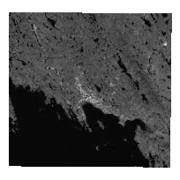
DMTI Satellite Streetview is an integrated product containing orthorectified and pansharperned QuickBird Satellite imagery data combined with CanMap streets data.
This dataset contains satellite images taken in 2008, covering Iqaluit, Nunavut.
Supplementary data files and documentation are available for download from the 'Additional Documentation' section.
URL
Access this resource on Scholars Geoportal.
SGP_id
3575496259
Scholars Geoportal URL
Access this resource on Scholars Geoportal.
