Year
2017
Abstract
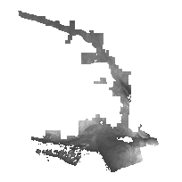
The Central Ontario Orthophotography Project (COOP) 2016 Digital Elevation Model (DEM) is a 2m raster elevation product that represents a generalized representation of both surface and ground features. The product was generated by an imagery contractor for the purpose of ortho-rectifying the COOP 2016 orthophotography collected between May 6th and June 10th of 2016. The DEM data is available in the form of 1km x 1km non-overlapping tiles by project area. For more detailed information about this dataset, refer to the associated User Guide.
URL
Access this resource on Scholars Geoportal.
SGP_id
2655731351
Scholars Geoportal URL
Access this resource on Scholars Geoportal.
