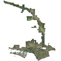
The 2016 COOP orthoimagery consists of high resolution, colour images that cover the area of central Ontario. This image data is the result of private and government entities working together under the coordination of the Ontario Ministry of Natural Resources and Forestry (OMNRF).
Fugro was contracted by OMNRF to acquire and process the full colour digital imagery which encompassed an area of approximately 53,729 square kilometres. Imagery acquisition was performed at 2,377 meters above mean terrain (AMT) to produce a 20 cm resolution. Images were taken between May 6th and June 10th, 2016 using Leica ADS100 Digital Camera systems.
Access this resource on Scholars Geoportal.
Access this resource on Scholars Geoportal.
