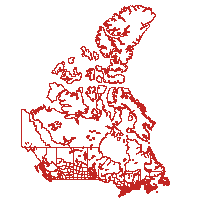
This data set reconstructs the Census Tracts (CT) and Census Metropolitan Area (CMA) levels of geography, compiled by Statistics Canada for the 1951 census. The shapefiles were created by the University of British Columbia's Data Services division, using data from the original printed 1951 maps.
Please note that additional data from the 1951 Census year is available from the Canadian Century Research Infrastructure (CCRI). Please click here to access
Access this resource on Scholars Geoportal.
Access this resource on Scholars Geoportal.
