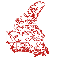
This data set reconstructs the census compilation and dissemination geography of the 1951 Canadian Census at the census division (CD) and census subdivision (CSD) level of geography.
The shapefiles (.shp) were derived from a comprehensive geodatabase, as part of the Canadian Century Research Infrastructure (CCRI). Detailed water polygons were replaced with a selection of major lakes in this version, indicated with the abbreviation MW in the file name, which stands for ‘major water’. These data are a part of a geographical framework constructed to enable the location, selection, aggregation, and analysis of census data, for census enumerations between 1911 and 1951.
Please note that additional data from the 1951 Census year is available from Statistics Canada/UBC. Please click here to access.
Access this resource on Scholars Geoportal.
Access this resource on Scholars Geoportal.
