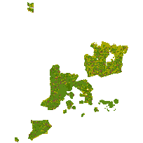
The Agricultural Operation Inventory provides farm and land use information such as fields, farmsteads, fencerows and ditches. Detailed information such as crop type, row direction, ditch and farmstead locations, livestock raised, irrigation and tillage method use assists with environmental modeling and agricultural land use decisions.
This is a framework of farmsteads, farm fields, fencerows, ditches, and rough land to create a seamless digital landscape - building from the urban, wetlands and woodlots provincial layers.
Supplementary look-up table descriptions are available in the Data Description document, which is available for download from the additional documentation section.
Access this resource on Scholars Geoportal.
Access this resource on Scholars Geoportal.
