Korean War Topographic Maps (1950-1953)
The maps in this collection were produced by the U.S. Army Map Service (A.M.S.) with some sheets published in cooperation with the Republic of Korea Army Map Service (ROKA) between the years 1945-1955. Most of the sheets are dated between the war years of 1950-1953. Our collection consists of 160 map sheets from the set of nearly 700. Most fall within South Korea and some have more than one edition, bringing the total number of maps in the collection to almost 200. Some maps are monochrome with Sino-Korean characters while later editions tend to be in colour with text in English and place names in romanized letters.
Permitted Use of the Maps: McMaster University Library is providing digital access to these map images, and the ability to download high resoultion copies (600 dpi, 1GB, .TIF), for non-commercial purposes only. For allowable use of the images found on this website, see the Creative Commons License.
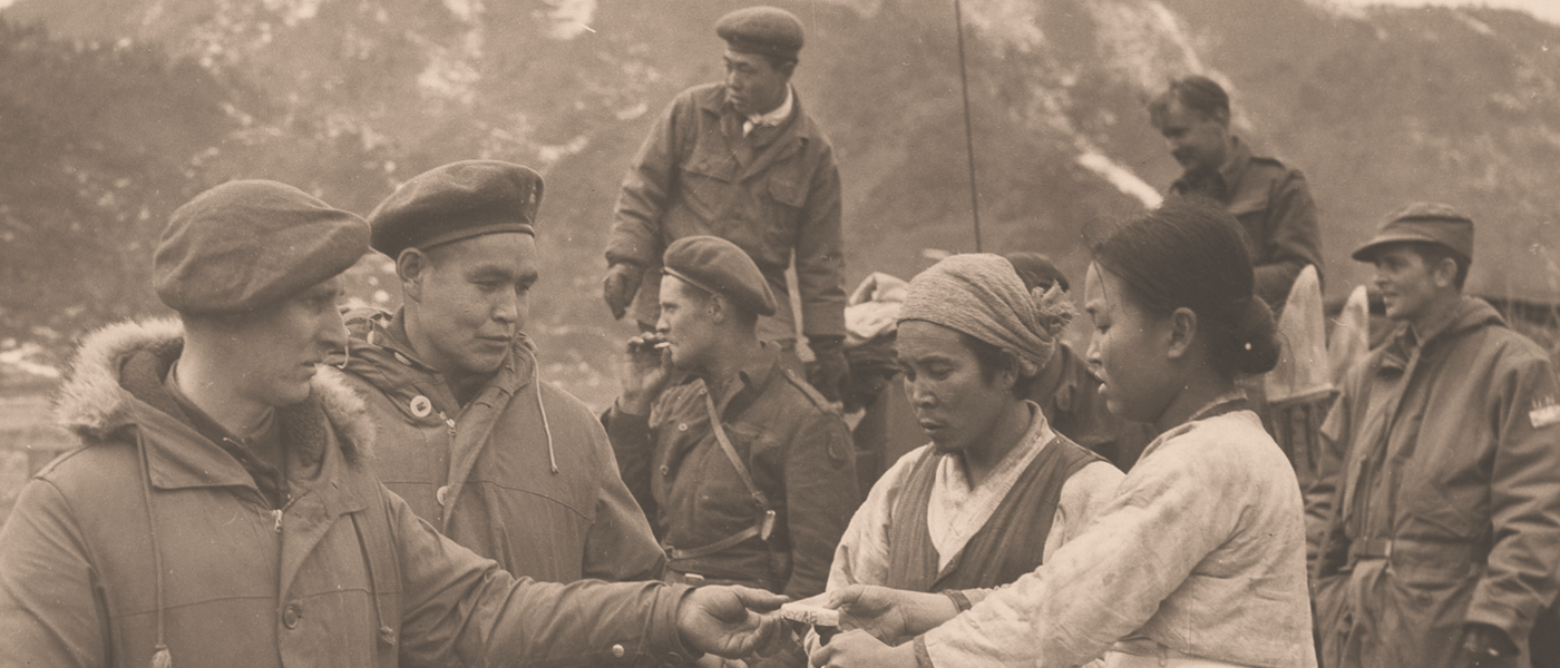
Image Credit: The image used for this webpage banner was cropped and edited from a photo in The Hamilton Spectator photograph collection, series 3, Envelope 4: "Canadian Army in Action."