Going Maps
“Soil-Going” maps, or simply, “Going” maps were introduced by the British in the First World War following the invention of the tank. Tanks, heavy vehicles, and even horse-drawn artillery would often get bogged-down in the mud of Flanders, thus halting an attack or stalling the advance after a successful break-through. To avoid this, Going maps were produced based on the analysis of geology, soils, slope, and drainage and displayed coloured zones to easily delineate areas of “Go” or “No-Go” for cross-country trafficability.
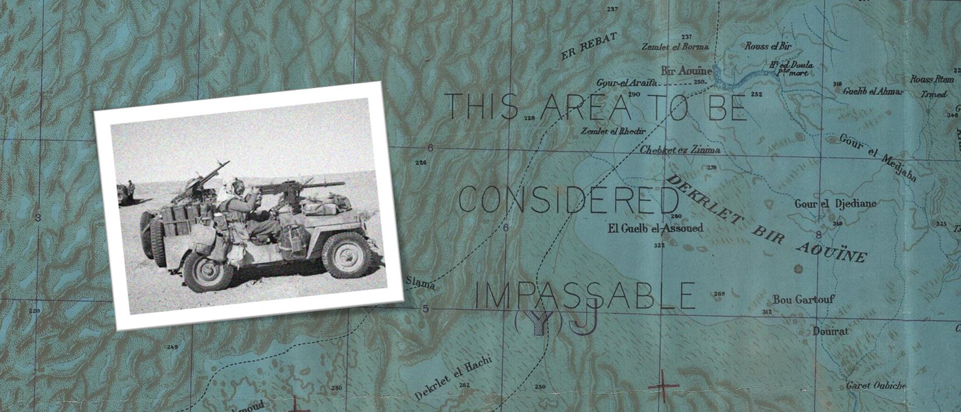
Going maps continued to be produced during the Second World War, and usually utilized a colour scheme ranging from white for excellent going over open ground, through yellow, orange, and finally red for impossible going due to thick woods, marshy ground, and anti-tank obstacles. An exception to this colour scheme is the going maps used in the North African campaign, compiled from reconnaissance by elite units like the Long Range Desert Group, these maps used four colours ranging from white for areas not yet reconnoitred, through yellow for fair going, green for continuous low gear (8 m.p.h.), to blue for generally impassible.