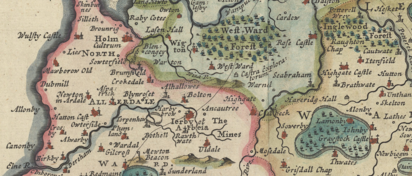
County Maps of Great Britain & Ireland (1610-1810)
A collection of historical county maps of Great Britain & Ireland by the famous geographers and map publishers: Christopher Saxton, John Speed, Joan Blaeu, Robert Morden, Herman Moll, Richard Blome, John Cary, Thomas Jefferys, John Rocque, Thomas Kitchin, Emanuel Bowen and more...
Permitted Use of the Maps: McMaster University Library is providing digital access to these maps and charts and the ability to download high resoultion copies (600 dpi, 1GB, .TIF) for non-commercial purposes only. For allowable use of the images found on this website, see the Creative Commons License.