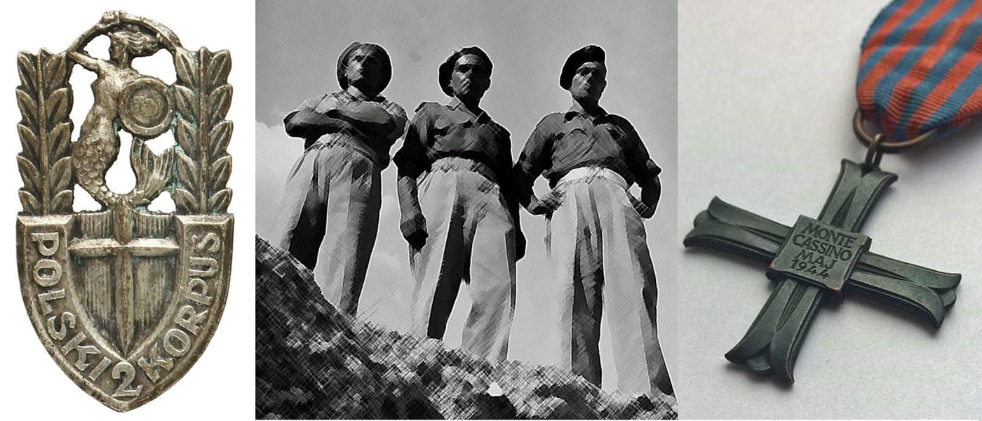
Battle of Monte Cassino, May 1944

Allies in Digitization

This map of the Polish Artillery fire plan for the Battle of Monte Cassino--acquired from the 'mapywig' project--represents yet another example of the McMaster University Library Map Collection's successful efforts at partnering with other institutions worldwide in an effort to preserve--and make freely accessible through digitization--the world's cartographic history and heritage.

mapywig.org is a non-commercial organization which endeavours to digitize all maps and geographic materials published by the Wojskowy Instytut Geograficzny (WIG), or Polish Institute of Geography. It was established by a group of Polish Army officers with a passion to preserve and share documents of the Geographic Service of the Polish Army, by whom they were awarded a medal for their efforts in 2009. Many WIG maps have disappeared from the libraries and archives of Europe as a result of two world wars and a cold war. McMaster University was able to provide the mapywig organization with a set of more than 200 high-resolution, digital images of topographic maps of Poland in our collection, produced by WIG in the 1930s and reproduced by the British in WII. The provenance of these maps is uncertain, but they were most likely acquired from the late Dr. Bogdan Zaborski, or through British and U.S. government distribution programs after the war.