Planetary Mapping
In 1961 when John F. Kennedy declared the U.S. intention to put a man on the moon by the end of the decade, all of the science and technology known to cartography was brought to bear. It would take 5 years to prepare the necessary maps. For one entire year, a series of unmanned lunar Orbiter spacecraft mapped the moon using remote sensing equipment, and it took another full year to process the images into maps using photogrammetry. Geodesists--or more correctly, Selenodesists--worked on calculations of the moon's exact size and shape in order to create a latitude and longitude grid. Since all 5 potential landing sites were along the Moon's equator, a Mercator projection was used for the small scale maps at 1:1,000,000 scale.
Between June 1966 and January 1968, five different American Surveyor spacecraft landed softly on the moon and took a series of more detailed photos in a 360 degree panorama of the landing sites. Stereo photography was also collected by the Surveyor craft which would hop slightly to the side after each shot to take additional photos from a slightly different perspective in order to acquire overlapping, 360 degree coverage. The overlapping photos of the Orbiter and Surveyor were then used to see the moon's surface in 3D, allowing contour lines to be applied to the maps. And time-lapse photos were taken from orbit as the sun's rays passed across the face of the moon in order to determine the true nature and orientation of the peaks and slopes of the moon's relief. Radar was employed to measure the difference in length of time it took for a radio signal to bounce back from the moon's surface in order to determine elevations, just like sonar measuring the depths of the seas back on earth. And later Apollo missions were even able to detect the geology of the moon remotely by bouncing x-rays and gamma rays off its surface to excite the particles and record the resulting feedback data through their receiving sensors onboard the orbiting spacecraft.
Sides of the Moon (1:5,000,000 scale charts)
Unified Geologic Map of the Moon combining all 6 charts at 1:5,000,000 scale, available from the USGS
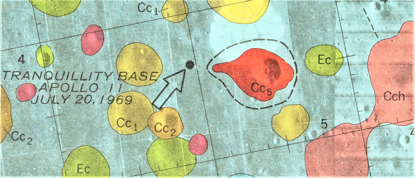
Apollo Pre-Mission Maps
Apollo Landing Sites
The entire "Geologic Atlas of the Moon (1962-1976)"
Mars Mapping coming soon...
References and Recommended Reading:
Greeley, R., & Batson, R. M. (1990). Planetary mapping. Cambridge: Cambridge University Press.
Wilford, John Noble (2001). The Mapmakers. Vintage Books.