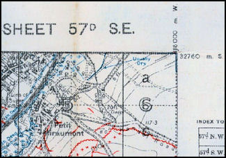
Corner Coordinates
Latitude & Longitude Coordinate System: with Imperial grid of 1,000 yard squares.
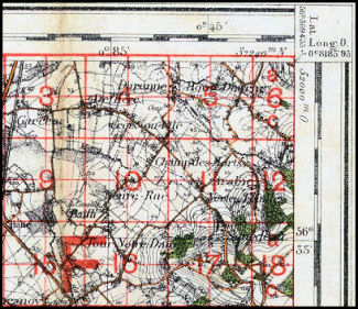
Note: the Imperial grid of 1,000 yard squares (red) extends past the top edge of the base map.
This created problems when working with adjacent map sheets as the grids would overlap instead of align.
Military Map Reference System: with Metric grid of 1,000 metre squares.