Year
1944
Abstract
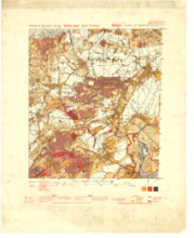
This is a 1:25,000 scale going map of France and Belgium.
Production information for the map is SA/9/1845 and 4/11/44/519RE/1845.
Note: The date of this map is assumed, based on available information.
URL
Access this resource on Scholars Geoportal.
SGP_id
WWIIMMGoingMapFranceBelgium_1944_TIFF
Scholars Geoportal URL
Access this resource on Scholars Geoportal.