| |
Lloyd Reeds Map Collection |
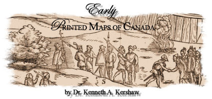
| Early Printed Maps of Canada - Table of Contents |
|
|
|
Chapter 1:
|
The First Maps of the New World |
|
Chapter 2:
|
Maps from the Early Exploration of the Arctic |
|
Chapter 3:
|
The Early 17th Century Maps |
|
Chapter 4:
|
Seventeenth Century Maps of Arctic Canada |
|
Chapter 5:
|
The Jesuit Influence on Canadian Cartography |
|
Chapter 6:
|
The 17th Century Dutch Charts of the Maritimes |
|
Chapter 7:
|
The 17th Century Dutch Charts of Hudson Bay and Arctic Canada |
|
Chapter 8:
|
English Maritime Charts of the 17th & Early 18th Centuries |
|
Chapter 9:
|
Miniature Atlases of the Late 17th Century |
|
Chapter 10:
|
The Maps by De Fer, Mortier and Lahontan |
|
Chapter 11:
|
Del'Isle, Mortier and Visscher |
V olume II: 1703-1799
| Chapter 1: | Maps of the Whole of Canada |
| Chapter 2: | Maps of the Arctic |
| Chapter 3: | Maps of Newfoundland |
| Chapter 4: | Maps of the Gulf of St. Lawrence |
| Chapter 5: | Maps & Charts of the St. Lawrence River |
V
olume III: 1703-1799
| Chapter 1: | Maps of Eastern Canada & Newfoundland |
| Chapter 2: | Maps of Maritime Canada |
| Chapter 3: | Maps of Nova Scotia |
| Chapter 4: | Maps of Halifax |
| Chapter 5: | Maps of Prince Edward Island and Sable Island |
| Chapter 6: | Maps of Cape Breton |
| Chapter 7: | Maps of Louisbourg |
| Chapter 8: | Maps of the Great Lakes |
V
olume IV: 1703-1799
| Chapter 1: | Maps of the Province of Quebec |
| Chapter 2: | The Siege of Quebec |
| Chapter 3: | Quebec City |
| Chapter 4: | Plans of Montreal |
| Chapter 5: | West Coast Cartography - Müller's Map and Its Derivatives |
| Chapter 6: | West Coast Cartography - Cook's Charts and Their Derivatives |
| Chapter 7: | West Coast Cartography - The Queen Charlotte Islands & Vancouver Island |
| Chapter 8: | The Apocryphal De Fonte Maps |
Contact:
mapref@mcmaster.ca
Last Reviewed: March 17, 2006
URL: