
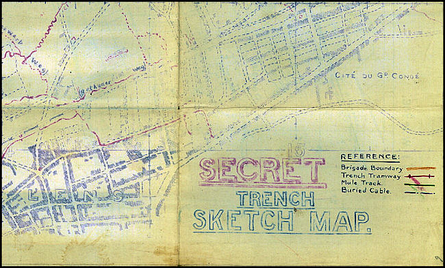
| Trench Diagrams and Sketches: |
| Army Intelligence GS(I) was originally responsible for mapping any territory forward of the front line but had no cartographic resources. It produced rough sketch maps at 1:5,000 and 1:10,000 scales referred to as "Trench Diagrams" due to their lack of topographical accuracy. Responsibility for mapping was soon handed over to survey units of the Royal Engineers. However, many sketch maps continued to be produced in front line areas when a revised or enlarged edition was required on short notice or for a special purpose. In the absense of an available printing press extra copies of trench maps were also sometimes generated by tracing or sun printing. |
| The image below was taken from a trench sketch map in our collection (ID #216ww1map). |
 |
Contact: mapref@mcmaster.ca