Year
1900 - 2010
Abstract
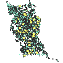
Fisheries Data Catalog contains geo-referenced records of fisheries and fish habitat surveys and events. Records from a wide variety of agencies, organizations and individuals are included in the catalog.
Each record is geo-referenced as a point, and is flagged as belonging to one or more of the following 20 information categories:
- aquatic habitat assessment
- barrier to fish migration
- benthic invertebrate inventory
- creel survey
- fish biomass
- fish contaminant data
- fishing derby data
- fluvial geomorphological data
- fish inventory
- fish kill
- fish nursery area
- fish population estimate
- fish stocking information
- fishway data
- hydrogeological information
- rehabilitation information
- stream discharge
- spawning survey
- water quality data
- water temperature
Each record also includes a file number which references a specific hardcopy file within the area's fisheries filing system. The catalog itself is available as a packaged product in the LIO Warehouse.
URL
Access this resource on Scholars Geoportal.
SGP_id
3911840609
Scholars Geoportal URL
Access this resource on Scholars Geoportal.