
| 1 Metre Contour Interval Dropped |
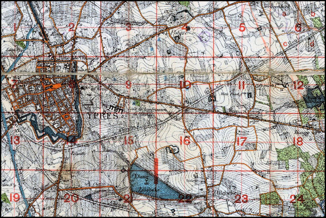
| In 1916 the 2nd Army Topo Section revised the existing Belgian 1:10,000 scale map sheets dropping unwanted conventional signs and the 1 metre contour interval. The 1 metre interval was found to be more information than was needed by the artillery for elevation calculations and had the disadvantage of making the map too congested and more confusing to read. A 5 metre contour interval was therefore adopted as the new standard. |
| The image below was taken from a map in our collection (ID #304ww1map) that has a contour interval of 1 metre. |
 |
Contact: mapref@mcmaster.ca