

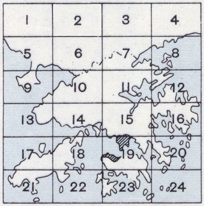
Hong Kong 1:20,000 scale
Click in any of the squares on the index below to view the topographic map of the area. Squares that are shaded grey indicate no map is available.
|
Contact: mapref@mcmaster.ca
Hong Kong 1:20,000 scale
Click in any of the squares on the index below to view the topographic map of the area. Squares that are shaded grey indicate no map is available.
|
|
Contact: mapref@mcmaster.ca