Royal Botanical Gardens Project, Hamilton
Source:
- McMaster University Eco Research Project (Ecowise).
Original data was provided by the Royal Botanical Gardens.
The 10 ArcView coverages were created by McMaster University Dept.
of Civil Engineering, Environmental Information Systems Laboratory
1995, for the McMaster Eco Research Project (Ecowise).
- Back to Top
Description:
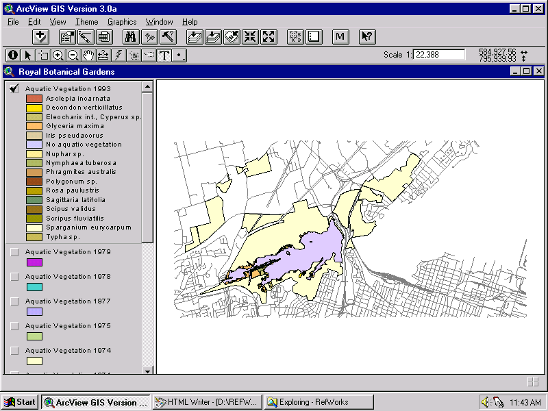
- Information about aquatic vegetation in Cootes Paradise, in different
years from 1946 to 1993.
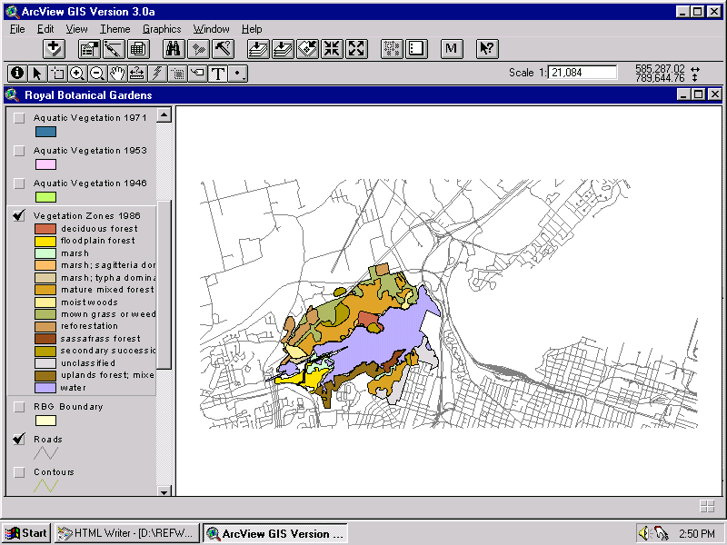
Also terrestrial vegetation in 1986, for the Royal Botanical Gardens
properties on the north and south shores of Cootes Paradise.
File format: Arc Export format (.e00)
Back to Top
Metadata:
- Instructions for use and metadata for individual coverages are available
in the Map Collection, in the binder titled ECOWISE PROJECT.
Back to Top
Attribute Fields in These Coverages
Coverage Name
and Description
|
Attributes
|
v1993 (Aquatic vegetation 1993) (Sample)
v1979 (Aquatic vegetation 1979)
v1978 (Aquatic vegetation 1978)
v1977 (Aquatic vegetation 1977)
v1975 (Aquatic vegetation 1975)
v1974 (Aquatic vegetation 1974)
v1971 (Aquatic vegetation 1971)
v1953 (Aquatic vegetation 1953)
v1946 (Aquatic vegetation 1946)
vzone86 (Terrestrial vegetation zones 1986) (Sample)
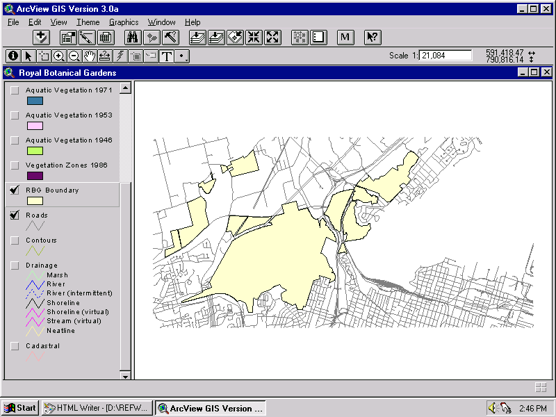
rbgboun (RBG boundary) (Sample)
|
code, species
code, species
code, species
code, species
code, species
code, species
code, species
code, species
code, species
code, description
no attributes |
- Back to Top
Demo Location:
- A demonstration copy of these coverages is mounted on the ArcView
workstation in the Map Collection.
d:\rbg\rbg.apr (10 coverages in project, with some Ontario
Base Map coverages as background geography).
- Back to Top
How To Obtain These Files:
- Restrictions on use vary depending on the source of the various coverages.
Contact the Map Collection for more information on any restrictions
for the specific coverages you need.
- These files can be requested from the Map Collection.
- Back to Top
Hamilton Index
Geospatial Data Geography Index
Map Collection Home Page
|
