Ontario Base Maps
-
Source:
- Land Information Ontario. Ontario Geospatial Data Exchange (OGDE).
OBM Data. Received May 2003.
-
- Some tiles for the Regional Municipalities of Hamilton-Wentworth and
Halton were originally received directly from the Ontario Ministry of
Natural Resources.
Back To Top
Description:
- Topographic map tiles, equivalent to Ontario Base Maps in paper format
(available in the Map Collection).
Southern Ontario is covered at 1:10,000; Northern Ontario is covered
at 1:20,000.
The Map Collection has tiles for all of Ontario.
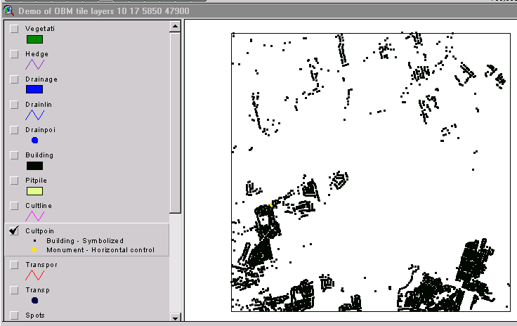
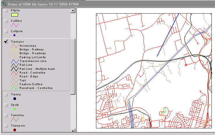
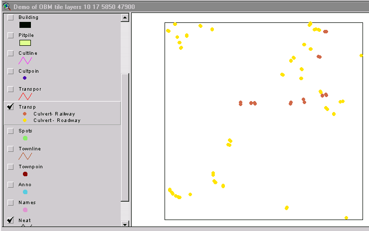
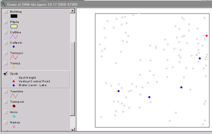
Features shown on the paper maps are saved as individual coverages
in the digital format.
A map tile may include up to 18 coverages (see Attributes
section).
File format: ArcView shapefiles and pdf image files are available
for all of Ontario.
-
Tiles of the Regional Municipalities of Hamilton-Wentworth
and Halton are also available in ArcInfo Export format (.e00). These
will be delivered in compressed format (pkzip or lharc).
-
- Back To Top
Metadata:
Metadata documents described below were received with the original
data files received from the Ontario Ministry of Natural Resources. No
metadata was received with OBM files received under the OGDE agreement.
- Copies of these reports are available in the Map Collection:
- 1) Ontario Ministry of Natural Resources, Ontario Digital Topographic
Database 1:10,000, (November 1996, printed from file otdb11.zip).
-
- 2) Ontario Ministry of Natural Resources, Map Centre, OBM
Information (November 1996).
-
- 3) Ontario Ministry of Natural Resources, Provincial Mapping Office,
Digital Topographic Data Base Overview, Version 2. (March
1994).
-
- 4) Ontario Government Specifications for the Delivery of Digital
Topographic Data and Cartographic Representation Products at Medium
Scales (1:10,000 and 1:20,000), Version 5, March 1994.
Back To Top
Attribute Fields in These Coverages:
Ontario Ministry of Natural Resources OBM (old files)
-
Coverage Name
and Description
|
Attributes
|
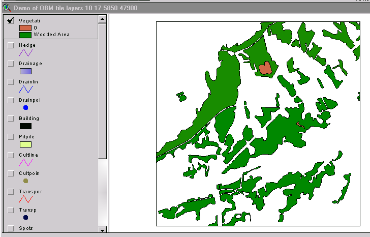
Vegetation (Wooded areas) (Sample)
Hedge (Hedges)
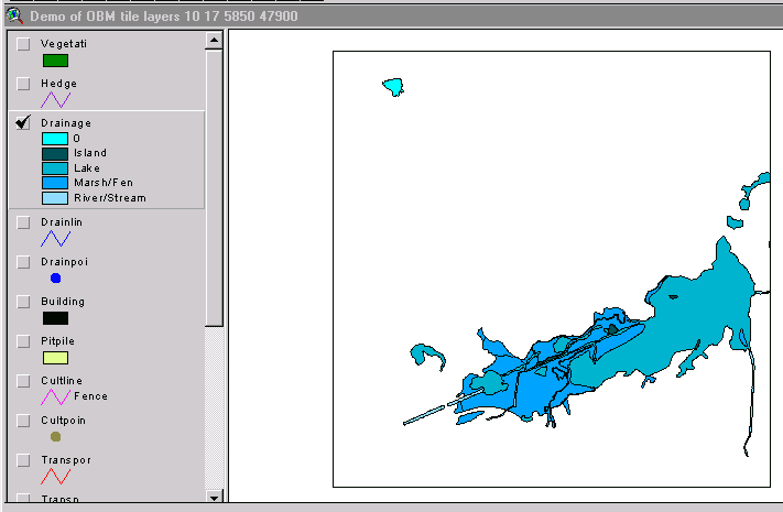
Drainage (Sample)
Drainlines (Linear symbolized drainage)
Drainpoints (Point symbolized drainage)
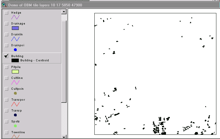
Building (Buildings to scale) (Sample)
Pit/Pile (Pit and pile polygons)
Cultlines (Linear cultural features) (Sample)
Cultpoints (Point cultural features) (Sample)
Transport (Transportation/communications) (Sample)
Transp (Miscellaneous transport features) (Sample)
Spots (Cartographic spot elevations) (Sample)
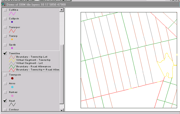
Townlines (Cadastre line information) (Sample)
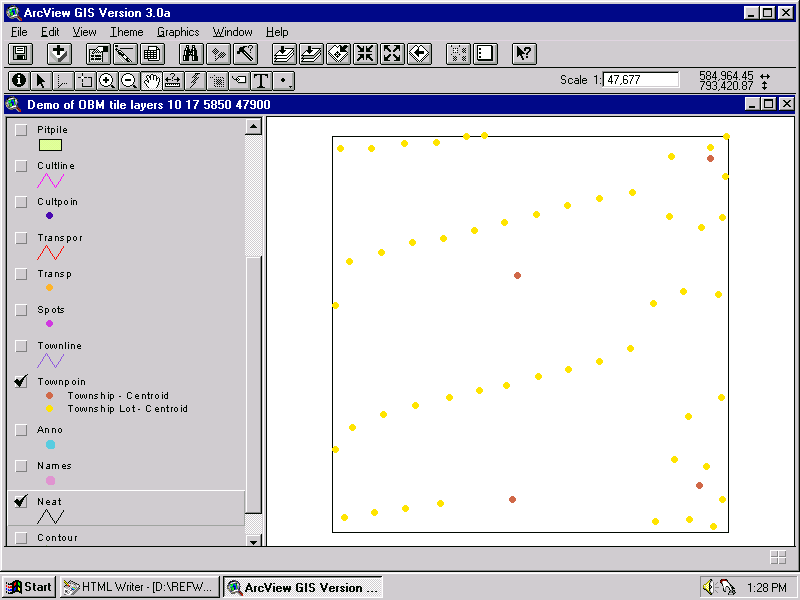
Townpoints (Cadastre point information) (Sample)
Anno (Annotation)
ddM (Digital terrain model) ** not always present
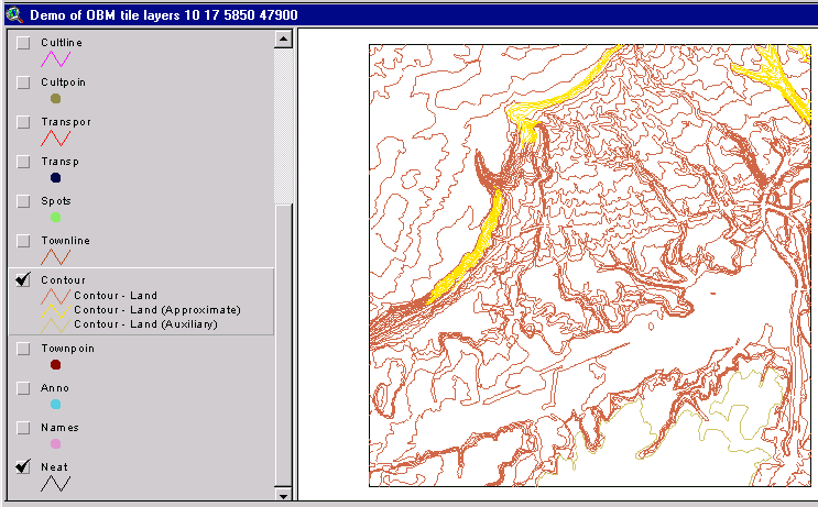
Contour (Cartographic contours) (Sample)
Names (Point names)
Neat (Sheet boundary (neatlines))
|
mnrcode, fcode
mnrcode, fcode
mnrcode, fcode
mnrcode, fcode
mnrcode, fcode
mnrcode, fcode
mnrcode, fcode
mnrcode, fcode
mnrcode, fcode
mnrcode, fcode
mnrcode, fcode, rotation
mnrcode, fcode, zvalue
mnrcode, fcode
mnrcode, fcode, lot, conc
no attributes
mnrcode, fcode
mnrcode, fcode
mnrcode, fcode
mnrcode, fcode, zvalue
|
- Back To Top
Ontario Geospatial Data Exchange OBM (new files)
| Woodedarea.shp |
Ob_id, Gut_num, Eff_dateti |
| Waterpoly.shp |
Ob_id, Gut_num, Eff_dateti |
| Waterline.shp |
Ob_id, Gut_num, Eff_dateti |
| Wateredge.shp |
Ob_id, Gut_num, Eff_dateti |
| Utilityline.shp |
Ob_id, Gut_num, Eff_dateti |
| Transportpnt.shp |
Ob_id, Gut_num, Eff_dateti |
| Transportlinel.shp |
Ob_id, Gut_num, Eff_dateti |
| Tank.shp |
|
| Spotheight.shp |
Ob_id, Z_value (elevation), Gut_num, Eff_dateti |
| Roads.shp |
Ob_id, Gut_num, Eff_dateti, Official_n (not name), Symbol_ite
(primary, secondary) |
| Railwayseg.shp |
Ob_id, Gut_num, Eff_dateti |
| Pitquarry.shp |
|
| Neatline.shp |
|
| Miscline.shp |
Ob_id, Gut_num, Eff_dateti |
| Lot.shp |
|
| Contour.shp |
Ob_id, Z_value (elevation), Gut_num, Eff_dateti, Official_n |
| Buildingpoly.shp |
|
| Buildingpnt.shp |
|
Back To Top
-
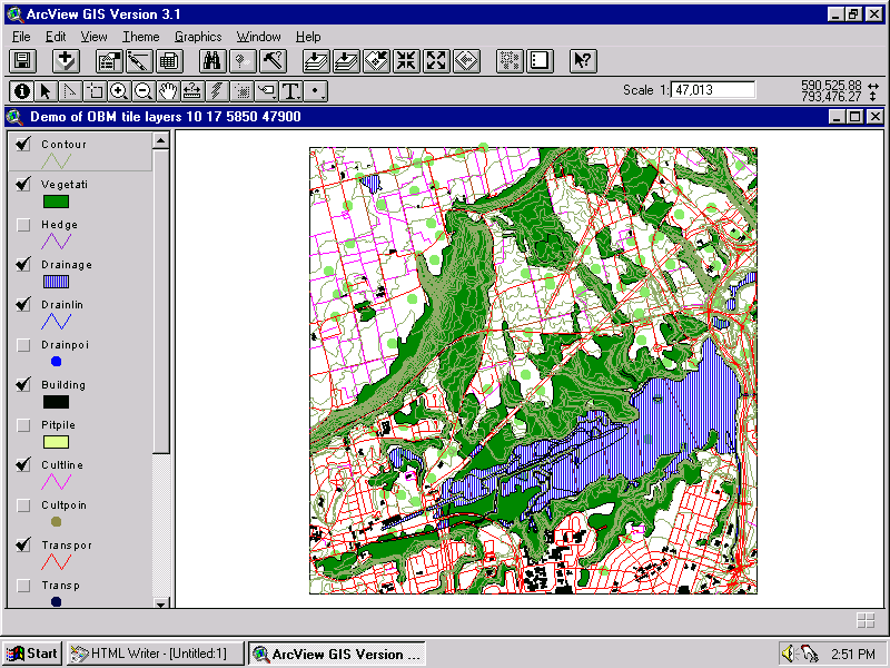
Demo Location:
- A demonstration copy of one tile showing these coverages is mounted
on the ArcView workstation in the Map Collection.
H:/data demos/obm/demo.htm (this demo shows an OGDE OBM
tile compared to the original OMNR version)
- Back To Top
How To Obtain These Files:
- 1) Ontario Base Maps are licensed to McMaster University Library
by the Ontario Geospatial Data Exchange Agreement or by the Ontario
Ministry of Natural Resources. They are available only to affiliates
of McMaster University, and may be used only for non-commercial purposes.
-
- 2) The OMNR license form must be signed before the files
will be delivered. A copy of this license form can be obtained in
the Map Collection.
-
- 3) The tiles should be requested by OBM map sheet number. Consult
the paper indexes to the Ontario Base Maps to determine this number
or you can click
here for an online index. Click on this map to zoom in - eventually
it will give you a number for a single OBM sheet. Submit a list of
desired map numbers to the Map Collection.
4) Specify whether you want ArcView shapefiles, ArcInfo Export
format (.e00) or pdf format.
- Back To top
Hamilton Index
Ontario Index
Geospatial Data Geography Index
|
