City of HamiltonMunicipal
Ward Boundaries
Source:
City of Hamilton, Information Technology Services, GIS Services. November
2003. Back To Top
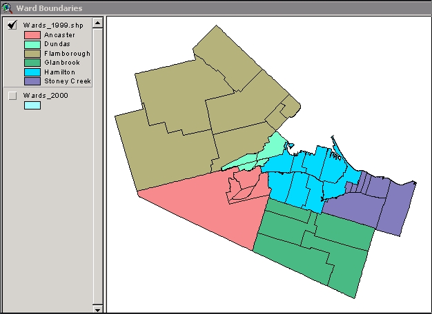
Description:
Ward boundaries, associated with municipal elections
in the City of Hamilton. Two sets of boundaries are available: -
2000 to date: 15 municipal wards, as created for the November 2000 election -
1985 to 1999: ward boundaries before amalgamation into New City of Hamilton (Hamilton
8 wards, Flamborough 7 wards, Dundas 4 wards, Glanbrook 5 wards, Stoney Creek
7 wards, Ancaster 5 wards)
Names of councillors have been
added to the attributes for 2000 and 2003 elections. File format: ArcView
shapefiles.
Back To Top
Metadata:
There is no metadata associated with these files. They were
created from the City of Hamilton GIS system, in shapefile format, November 2003,
at the request of McMaster University Library Map Collection. Councillor
names were added by McMaster University Library Map Collection. Source
for 2000-2003 councillor names was City of Hamilton webpage "Members of Council"
(http://www.city.hamilton.on.ca/Clerk/council/
- revised 24-Oct-2003). Source for 2003-2006 councillor names was City
of Hamilton Election Results webpage (http://www.hamilton.ca/Clerk/election/2003-election-results/
- revised November 11, 2003)
Back
To Top
Attribute Fields
in This Database: Filename | Attributes | | wards_1999.shp | Municipali
(municipality name), Ward, SGC, Cen96pop (incomplete), Councillor (incomplete) | | ward_bndry.shp | Ward,
Councillor 2000-2003*, Councillor 2003-2006* |
*attribute
added by Library
Back
To Top
Demo Location:
The ward boundary files may be viewed in the Map Collection, on
the ArcView workstation (h:/data_demos/hamilton/demo.apr) Click
here to view sample images: Ward
Boundaries 2000 to present Ward Boundaries
1985-1999
Back
To Top
How to Obtain These
Files: 1) Digital versions of Ward Boundaries of Hamilton
are licensed to McMaster University Library by the City of Hamilton. They are
available only to students, faculty and staff of McMaster University, and may
be used only for educational and non-commercial purposes. 2) The City
of Hamilton license form must be signed before the files will be delivered.
A copy of this license form can be obtained in the Map Collection. 3) The
digital boundary files can be requested from the Map Collection.
Back
To Top
Hamilton Index
Ontario Index
Canada Index
Geospatial Data Geography Index
| 