Grand
River Conservation Authority G.I.S. Data
Source:
Grand River Conservation Authority, Cambridge, Ontario. July 2003, updated May 2006.
Copyright statement required on any map or publication produced
using this data: "Produced
using information under license with the Grand River Conservation authority, Copyright
© Grand River Conservation Authority, [date]." BACK
TO TOP
Description:
Various GIS coverages developed by the Grand River Conservation Authority,
as part of their mandate to manage the Grand River watershed.
Data covers the Grand River watershed area only. The Grand River watershed
includes parts of many counties and municipalities in Ontario, including City
of Brantford, City of Hamilton, Brant County, Oxford County, Perth County, Dufferin
County, Grey County, Haldimand County, Norfolk County, Regional Municipality of
Halton, Regional Municipality of Waterloo, Wellington County and the First Nations
properties of Six Nations and New Credit. Click here
for a map (GRCA Context Map www.grandriver.ca) of the watershed area. In addition to the above areas, the 2006 data also covers a small portion of Lake Erie.
There are coverages for a variety of different themes relevant to
watershed management, such as ecoregions, dams, floodplain, conservation lands,
rain and water quality gauges, subcatchment areas and wetlands. See the Attributes
section for a full list of coverages. Grid coordinate system and map projection
= Universal Transverse Mercator (UTM), Grid zone 17 Datum
= NAD 83
File format: Vector data supplied as ArcView
shapefiles for both 2003 and 2006 versions. Raster data is supplied (2003 version only) as ArcInfo grids (ASCII .txt files with accompanying
projection .prj files).
BACK TO TOP
Metadata:
Every coverage has an accompanying metadata document in html format. Sample documents may be viewed in the Map Collection
(ask Library Staff for assistance -GRCA CD-ROM /metadata/) All
metadata documents are available with the dataset. BACK
TO TOP
Attribute Fields in These
Data Files:
2003 Vector Data
| Official watershed boundary (wshedoff.shp) | | | Municipal
boundaries (mun.shp) | Mu_utier (Upper tier) Sample , Mu_ltier (Lower tier),
Mu_Id (Provincial revenue #), Mu_geo (Partially within or without GRCA boundary),
Mu_grcode (Municality type), Source, Disdate | | Other conservation
lands (conland.shp) | Oc_grcode, Oc_method, Oc_con (Contact person), Oc_conext
(Confirmation extent), Oc_condate (Confirmation date), Oc_concern (Land feature
type), Oc_description, Oc_acc (Accuracy code), Oc_type | | Cross
sections (xsect.shp) | Cs_fileid, Cs_number (Code numbers relating to hydraulic
modelling section in floodplain mapping project) | | Dams (dams.shp)
and related table (grcadams.dbf) | Da_id (Unique identifier), Dam_name,
Dam_type, Notes | | Ecoregions (ecoreg.shp) | Region |
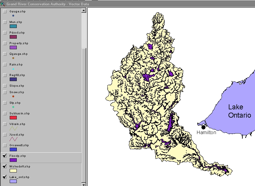
Floodplain (flood.shp) Sample | Fl_fileid,
Fl_type, Fl_status, Fl_regarea (Type of area), Fl_grcode, Fl_criteria |
| Forest management compartments (forest.shp) | Fc_id, Fc_grcode |
| Poorly drained soils (pdsoil.shp) | Pd_grcode, Pd_method, Pd_con
(Contact person), Pd_conext, Pd_condate (Confirmation date), Pd_description |
| Properties enrolled in Managed Forest Tax Incentive Program (property.shp) | Pr_rollnum,
Pr_grcode | | Rain gauges (rain.shp) | Rg_name, Rg_utmx27,
Rg_utmy27, Rg_ddlo27, Rg_ddla27, Rg_utmx83, Rg_utmy83, Rg_ddlo83, Rg_ddla83 |
| Registered scheduled areas (regfill.shp) | Rf_sch, Rf_name, Rf_a_date,
Rf_grcode | | Sewage treatment plants (stp.shp) | St_plantno,
St_utmx27, St_utmy27, St_ddlo27, St_ddla27, St_utmx83, St_utmy83, St_ddlo83, St_ddla83 |
| Slope erosion hazard (slope.shp) | Ss_fileid, Ss_type, Ss_area |
| Snow course sample sites (snow.shp) | Course, Ca, Utm_e, Utm_n,
Longitude, Latitude | | Subcatchments (subbasin.shp) and related
table (subbasin.txt) | Su_basin, Su_id, Su_digbase (Base material), Su_rev
(Revision #), Su_revdate, Su_source, Su_grcacode, Major_basin_name, Minor_basin,
Sub_basin, Census_basin, GRIC, GAWSER_id, ZUM (Zones of uniform meteorology),
Climate_z | | Virtual drainage (vdrain.shp) | Mnrcode, Fmfobj_id1
(NRVIS id), Code1, Lock_id, Phase_id, Object_id, Create_id, Source, CA, Strahler,
Shreve | | Water flow gauges (gauge.shp) | Fg_station, Fg_loc,
Fg_oper, Fg_access (Type of data recording), Fg_fltype, Fg_season, Fg_stdate (Year
station established), Fg_reclen (Record length), Fb_utmx27, Fg_utmy27, Fg_ddlo27,
Fg_ddla27, Fg_utmx83, Fg_utmy83, Fg_ddlo83, Fg_ddla83 | | Water
quality gauge (qgauge.shp) | Wq_id, Wq_wcourse, Wq_log, Wq_freq, Wq_operator,
Wq_utmx27, Wq_utmy27, Wq_ddlo27, Wq_ddla27, Wq_utmx83, Wq_utmy83, Wq_ddlo83, Wq_ddla83 |
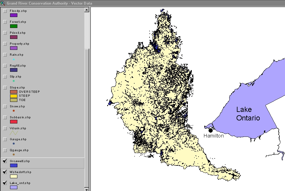
| Wetlands (wet.shp) and related tables Sample | Mnrcode,
Complex, Type, Num (Sub-complex number), We_grcode, We_source, We_acq, We_method,
We_confirm (Confirmation date), We_con (Contact), We_stype (Type of source), We_acc
(Accuracy), We_base (Base map code) |
2003 Raster
Data
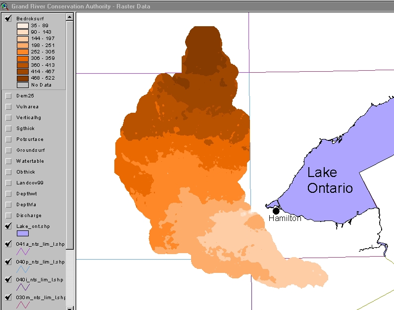
| Depth
to bedrock (bedrcksurf) Sample | Elevation |
| Ground surface (groundsurf) | Elevation | | Overburden
thickness (obthick) | Thickness | | Sand and gravel thickness
(sgthick) | Thickness | | Water table (watertable) | |
| Potentiometric gradient (potsurface) | Elevation |
| Vertical hydraulic gradient (verticalhg) | Depth | | Vulnerability
to contamination (vulnarea) | Depth | | Discharge areas (discharge) | Depth |
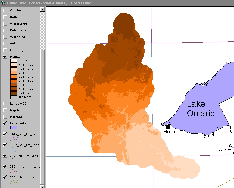
| Digital elevation model (dem25m) Sample | |
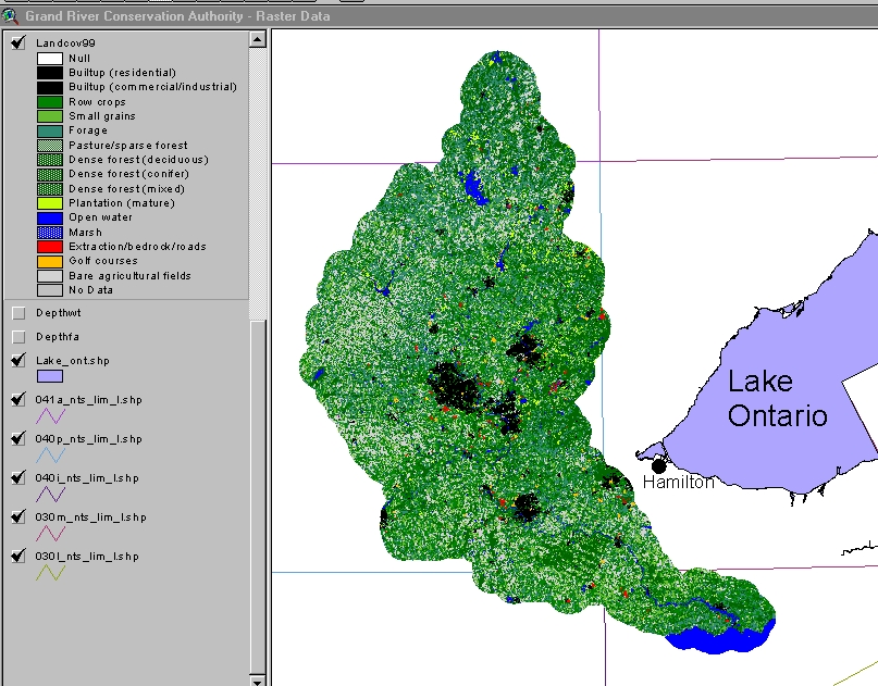
| Landcover (landcov99) Sample | | | Depth
to Water Table (depthwt.shp) | Depth | | Depth to First Aquifer
(depthfa.shp) | Depth |
2006 Vector Data
| Official watershed boundary (Jurisdictional_Bndry.shp) |
|
| Floodplain (floodplain.shp) |
Fl_fileid, Fl_type, Fl_status, Fl_regarea (Type of area), Fl_grcode, Fl_criteria, SHAPE_area, SHAPE_len |
| Slope erosion hazard (slope_erosion.shp) |
Ss_fileid, Ss_type, Ss_area |
| Slope valley (slope_valley.shp) |
Ss_fileid, Ss_type, Ss_area |
| Wetlands (wetlands.shp) |
WE_grcode, WE_source |
| Regulation limit (Reg_Limit.shp) |
GR_feature, Mu_utier (Upper tier), Mu_ltier (Lower tier), SHAPE_area, SHAPE_len |
| OCL (ocl.shp) |
OC_grocode, OC_value |
BACK
TO TOP
Demo Location:
A demonstration copy of the Grand River Conservation Authority
G.I.S. Data files (vector datasets only) is mounted on the ArcView workstation
in the Map Collection.
H:/data demos/grca/demo_2003.mxd (ArcMap)
H:/data demos/grca/demo_2006.mxd (ArcMap)
BACK TO TOP
How
to Obtain These Files: 1) The Grand River Conservation
Authority data files are licensed to McMaster University Library by the GRCA.
The files are available to faculty, staff and students of McMaster University,
and may be used only for educational and non-commercial purposes.
2) The GRCA license form must be signed before the files will
be delivered. A copy of this license form can be obtained in the Map Collection. 3) Request the files from the Lloyd Reeds Map
Collection. BACK TO TOP
Hamilton
Index
Ontario Index
Canada
Index
Geospatial Data Geography Index
|
