
McMaster University Library | 19th Century Maps and Surveys Index
WELCOME
A Guide to the McMaster University Library's 19th Century Maps and Surveys Index
❮
❯
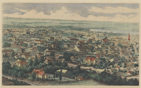
Welcome to the McMaster University Library's 19th Century Maps and Surveys Index -- An interactive tool for finding and accessing historical maps of the local Hamilton area dating back to the Augustus Jones survey of 1791.
Reproduction copies of these maps may be viewed in the Lloyd Reeds Map Collection.
Original maps may be viewed in the Library's Archives and Research Collections Division.
Close this window (or click on the map) to begin exploring.
Reproduction copies of these maps may be viewed in the Lloyd Reeds Map Collection.
Original maps may be viewed in the Library's Archives and Research Collections Division.
Close this window (or click on the map) to begin exploring.
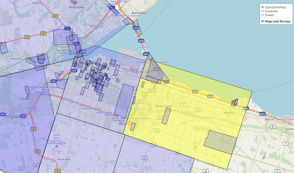
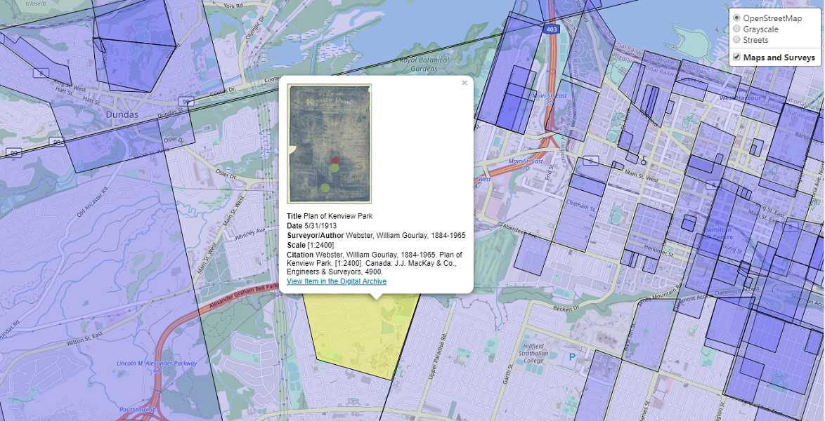
View maps and surveys by selecting it on the navigation panel. Hover over locations to highlight an area and view the extent of geography the map or survey covers.
Click on a polygon for more information on an item, including an image preview, a link to a digital version, and citation, if available.