Image courtesy of Russell "Sandy" Sanderson (1926-2016) of Hamilton, Ontario--formerly of Niagara Falls.
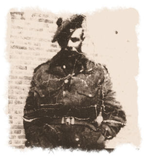
Russell Sanderson, Sniper-Scout, Scout Platoon, 1st Battalion, The Black Watch Royal Highland Regiment of Canada. Holland, February 1945.
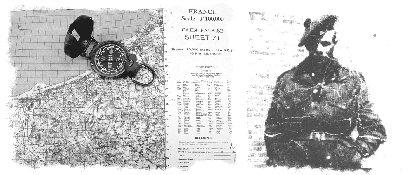
"Sandy's major duty was reconnaissance. For this, he relied heavily on maps like those in our Holland 1:25,000 scale series. View our map of Groningen, where it is confirmed that Sandy captured between 20 and 25 German soldiers single-handedly when sent on a scouting mission in advance of the main Allied force. It was my distinct pleasure to have met and talked with Sandy about his experiences and the use of these maps in the field."--Gord Beck, Map Specialist, Lloyd Reeds Map Collection
Sandy's story is now the subject of the History Channel's documentary, 'Black Watch Snipers' (2016).
The Project:
The WWII Topographic Map Series Project represents the Lloyd Reeds Map Collection's (LRMC) first 'in-house' digitization project. McMaster University Library wishes to thank the many geography and geology graduates whose generous gifts helped to fund the purchase of a large-format scanner, without which, this project would not have been possible. The over 3,000 maps in the McMaster WWII Map series were electronically captured with a Colortrac SmartLF GX+T56 scanner at 600 dpi optical, 24 bit tonal resolution and saved in .TIF (archival), JPEG (thumbnail) and JPEG2000 (scalable) formats.
We would also like to thank the staff at the University of Alberta, William C. Wonders Map Library, the Laurier Centre for Military, Strategic, and Disarmament Studies (LCMSDS), and the Canadian Warplane Heritage Museum, with whom we have recently partnered to add an additional 7,000 maps to our online collection--bringing the total to approximately 10,000 map images. We intend to continue to partner with other institutions to further expand the collection.
The Team:
Gord Beck, Map Specialist and Project Leader (Retired)
Margaret Rutten, Digital Access Specialist (Retired)
Christine Homuth, Spatial Information Specialist
Jason Brodeur, Manager, Maps/Data/GIS
Student Assistants:
Sarah LoConte, Karen Tan, Jenny Ni, Sue Burner, Sana Malik, David Zaslavsky, Anika Chiang, Yinbo "Tony" Zhao.