
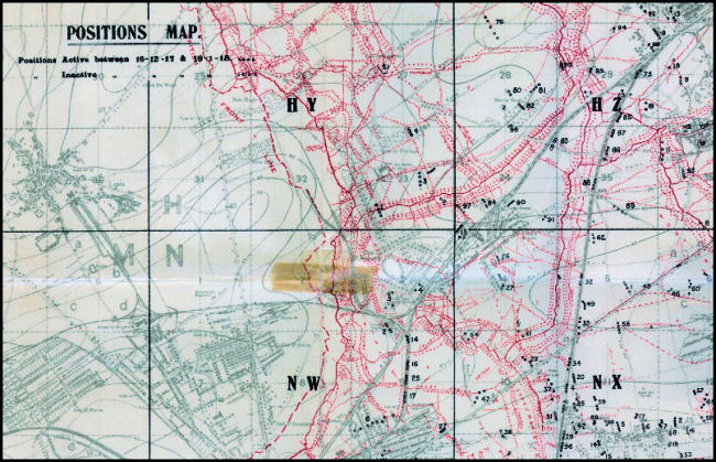
| Specialty Maps: "Positions" |
| Beginning in 1916 "Positions" maps were created in order to show all enemy battery positions located by aerial photography, flash spotting, sound ranging, kite/balloon, etc. |
| The image below is taken from a map in our collection (ID #339ww1map). |
 |
Contact: mapref@mcmaster.ca