
| |
Lloyd Reeds Map Collection |
| Resources for Geog 1HA3 "Westdale Neighbourhood" Assignment |
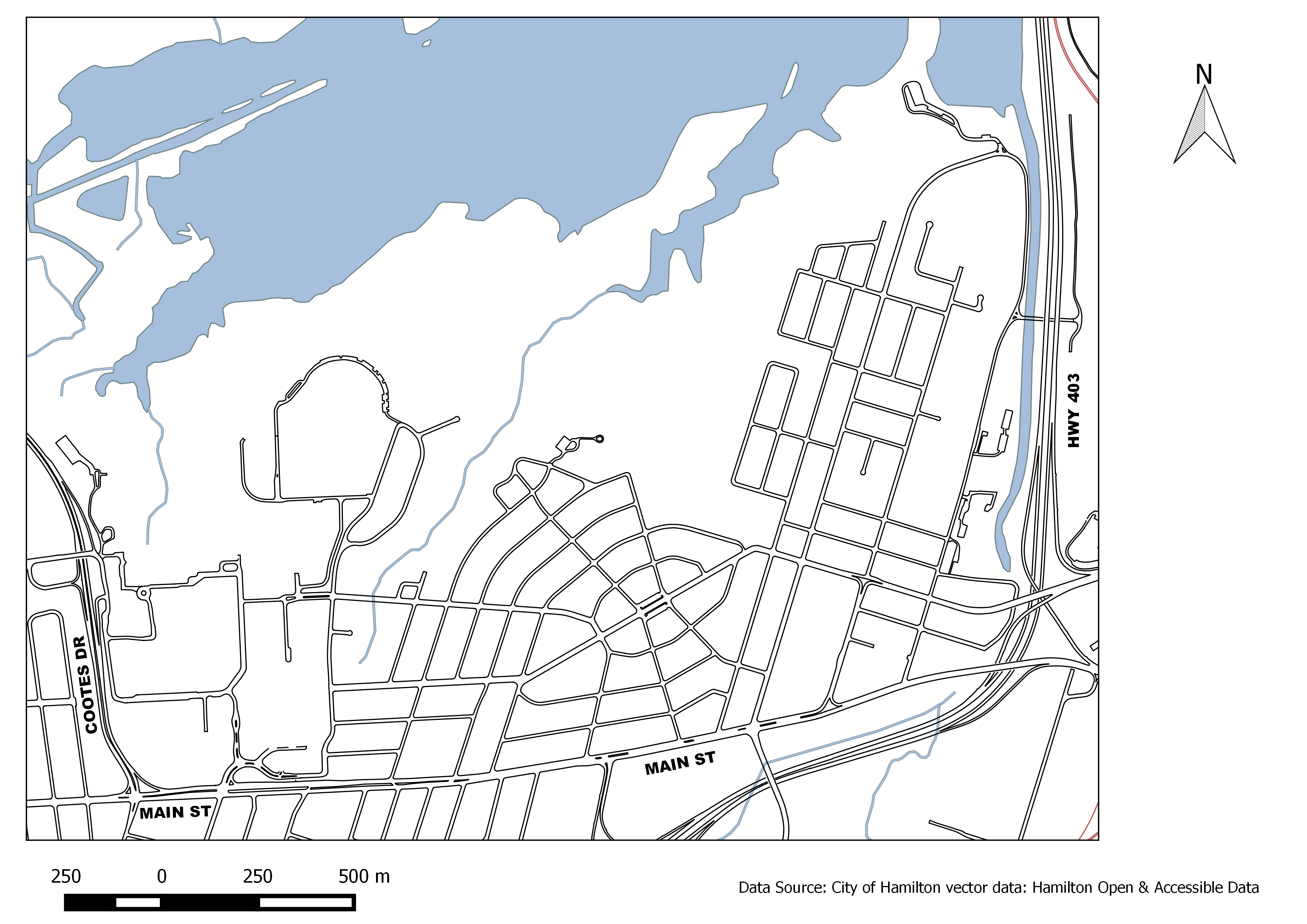
Maps and Air PhotosBase Map: a Westdale Neighbourhood base map was prepared for this assignment and is available to save or print from the links below.
City of Hamilton Maps Online: detailed maps of the city are available on the map.hamilton.ca website which includes:
The Lloyd Reeds Map Collection in McMaster University's Mills Library (room 102) has many resources from historical maps like 'fire insurance plans' to modern city street maps, topographic maps and aerial photographs. Be sure to drop by the Map Collection between 9 a.m. and 5 p.m., Monday to Friday in order to view the class display of materials. Staff will be available for assistance. Fire Insurance Plans: there are two sets available covering the Westdale area dated 1947 and 1964. They are still protected under copyright so no images are available online. The paper copies may be viewed anytime during our normal hours of operation. Aerial Photographs: there are several sets available covering the Westdale area between the years of 1927 and 2005. Use this index to see what photos are available. Photos before 1960 are out-of-copyright and can be viewed online by clicking the link from the index. Photos from 1960 to 1990 are available in paper format only and can be requested in the Map Collection. Digital photos for 2002 and 2005 can be viewed on designated computers in the Map Collection only. City Planning DocumentsHamilton (Ont.). Planning and Economic Development Dept. Ainslie Wood Westdale secondary plan, 2005. Hamilton (Ont.). Planning and Economic Development Dept. Ainslie Wood Westdale community strategy, 2005. Hamilton (Ont.). Planning and Development Dept. Ainslie Wood / Westdale neighbourhood: background report, 2002. Ainslie Wood Westdale Walkability Assessment Report 2008 (online) City of Hamilton Official Plan and Zoning By-law (online) Hamilton's Heritage Properties (online) Planning a Community (online) BooksNina Chapple. A Heritage of Stone: Buildings of the Niagara Peninsula, Fergus and Elora, Guelph, Region of Waterloo, Cambridge, Paris, Ancaster-Dundas-Flamborough, Hamilton, and St. Marys, 2006. David N. Jardine. West Hamilton, a Village and a Church, 1990 Alexander Gordon McKay. Victorian Architecture in Hamilton, 1967. City Directories show what person or what business was located at a specific address in a particular year. McMaster Library has city directories for the City of Hamilton dating back to 1853 in the following formats:
Newspaper & Journal ArticlesNewspapers: use LexisNexis to find newspaper articles in The Hamilton Spectator about Hamilton neighbourhoods, historic buildings, etc. Popular Journals: popular press Journals (such as Hamilton Magazine, Maclean's and Toronto Life) are more likely to publish articles of local interest than scholarly journals. CBCA Reference and Current Events Academic Journals: Scholarly journals are less likely to publish articles of local interest, but might provide information about topics such as neighbourhood renewal and gentrification, etc. Recommended Article: Weaver, J.C. (1978) From Land Assembly to Social Maturity. The Suburban Life of Westdale (Hamilton), Ontario, 1911-1951. Social History, 11(22), 411-440. (Map Collection office) Internet Resources(This is not a complete list, just a few links to get you started) Ainslie Wood/Westdale Community Association of Resident Homeowners Hamilton Public Library (Central Branch) Local History and Archives Department has an excellent collection of materials both in-house and online such as How to Research Your House in the City of Hamilton Ontario Architecture Website (information about architectural styles)
|
|||||
|
Contact:
mapref@mcmaster.ca
|